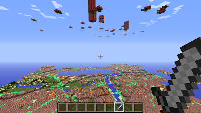
Following a suggestion from and Twitter conversation with David Whale (@whaleygeek), Martin O’Hanlon (Minecraft Pi guru) has mashed together some recently released Ordnance Survey data, the map-of-Pis data from Rastrack and some Minecraft know-how. He’s created a map of the UK with every Pi from Rastrack floating in the air above it’s location.
You can visit the World, hosted by Martin, but I’ll let his blog post speak for itself in terms of connection.
Let’s face it, this is just a million times of awesome.
[…] recantha Following a suggestion from and Twitter conversation with David Whale (@whaleygeek), Martin […]